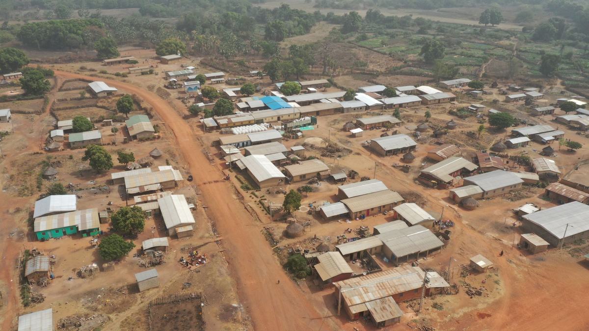
- Capital: Conakry, a peninsula city of roughly 2 million people [1]
- Population: about 14 million (2024 estimate) [1]
- Area: 245,857 square kilometers, slightly smaller than Oregon [1]
- Official language: French, with around 24 indigenous languages spoken, eight of them taught in schools [2]
- Currency: Guinean franc (GNF)
- Distinguishing claim: holds roughly a quarter of the world's known bauxite reserves, the ore that becomes aluminum [3]
Most Americans couldn't point to Guinea on a map, and the ones who try usually end up somewhere near Ghana or Guyana. Turns out it's none of those. Guinea sits on the western bulge of Africa, facing the Atlantic, sharing borders with six countries and holding onto a piece of the planet's mineral wealth that most people never hear about. I had to look this up twice when I first saw the bauxite figure. A country smaller than Oregon, with more aluminum ore in the ground than almost anywhere else on Earth.
The Bauxite Country
Guinea is the world's second-largest producer of bauxite and sits on what most geological surveys describe as the planet's largest reserves of the stuff [3]. Bauxite is the rock that gets refined into alumina and then smelted into aluminum, the metal in everything from your soda can to airplane wings. The Boké region in the northwest is where most of it comes out, hauled by long mining trains down to the coast. Here's the thing about that wealth though - it hasn't translated into broad prosperity. Guinea remains one of the lower-income countries in the world by per-capita measures, and the gap between what's in the ground and what reaches ordinary Guineans has been a defining tension of the country's modern story.
Where Three Rivers Begin
The Fouta Djallon, a highland plateau in central Guinea, is sometimes called the water tower of West Africa. Three of the region's biggest rivers start there: the Niger, the Senegal, and the Gambia [4]. Think about that for a second. The Niger River, which curves across five countries and waters Mali and Niger and Nigeria before reaching the Gulf of Guinea, begins as a small stream in the green hills of Guinea. The Senegal, which forms the border between Senegal and Mauritania, also starts here. When you see how dry the Sahel gets just a few hundred miles north, the Fouta Djallon feels almost improbable. Rolling green hills, waterfalls, cool nights. Not what most people picture when they think of West Africa.
Twelve Languages, One Country
French is the official language, a holdover from colonial rule that ended in 1958. But Guinea is genuinely multilingual in a way that's hard to convey if you grew up in a place where English is just assumed. The big indigenous languages are Pular (spoken by the Fulani), Maninka (Mandingo), and Susu - each tied to a major ethnic group and a different region. Eight national languages are formally recognized for use in education and broadcasting [2]. Markets in Conakry are a soundscape of code-switching - a vendor might greet you in Susu, bargain in French, and explain something in Pular without missing a beat. Reminds me of overhearing Spanish and English blend together in border towns back in the States, except multiplied across half a dozen languages.
The Year Guinea Said No
In 1958, France held a referendum across its African colonies. The deal was simple: vote yes to join a French-led community with limited autonomy, or vote no and lose all French aid, technical support, and infrastructure overnight. Every other French African colony voted yes. Guinea voted no. Sékou Touré, the firebrand leader of the independence movement, made a speech that became famous across Africa: "We prefer poverty in freedom to riches in slavery". France pulled out within days, reportedly even ripping telephones off the walls and burning records on the way out. Guinea became the first French colony in sub-Saharan Africa to gain independence, on October 2, 1958 [5]. That moment shaped the country's politics, economy, and self-image for decades after.
Coast, Forest, and Savanna
For a country the size of Oregon, Guinea packs an unusual range of landscapes. The coastal lowlands around Conakry are humid and mangrove-fringed. Move inland and you climb into the Fouta Djallon highlands. Keep going and you hit the savanna of Upper Guinea, which feels more like the Sahel. Finally, in the southeast, you reach the Forest Region (Guinée Forestière), a stretch of true rainforest that's home to chimpanzees and forest elephants and the kind of biodiversity that makes biologists fly halfway around the world. Mount Nimba, on the border with Côte d'Ivoire and Liberia, is a UNESCO World Heritage site for that exact reason [6].
Frequently Asked Questions
Is Guinea the same as Equatorial Guinea or Guinea-Bissau?
No. They're three separate countries with similar names. Guinea (sometimes called Guinea-Conakry) is the largest, on the West African Atlantic coast. Guinea-Bissau is a smaller country just to the northwest, formerly Portuguese. Equatorial Guinea is on the opposite side of Africa, on the Gulf of Guinea, and was a Spanish colony.
What is Guinea's main export?
Bauxite, by a wide margin. Guinea is one of the world's top bauxite producers and holds the largest known reserves. The country also exports gold, diamonds, and some agricultural products like coffee and cocoa, but bauxite dominates the export economy and most of the foreign-exchange earnings.
What language is spoken in Guinea?
French is the official language and the language of government and formal education. In daily life, most Guineans speak one of the indigenous languages - Pular, Maninka, or Susu being the three largest - and many people speak two or three of these alongside French.
When did Guinea gain independence?
Guinea became independent from France on October 2, 1958, after voting no in a referendum on continued association with France. It was the first French colony in sub-Saharan Africa to gain full independence and chose a path of separation from the French community of nations.